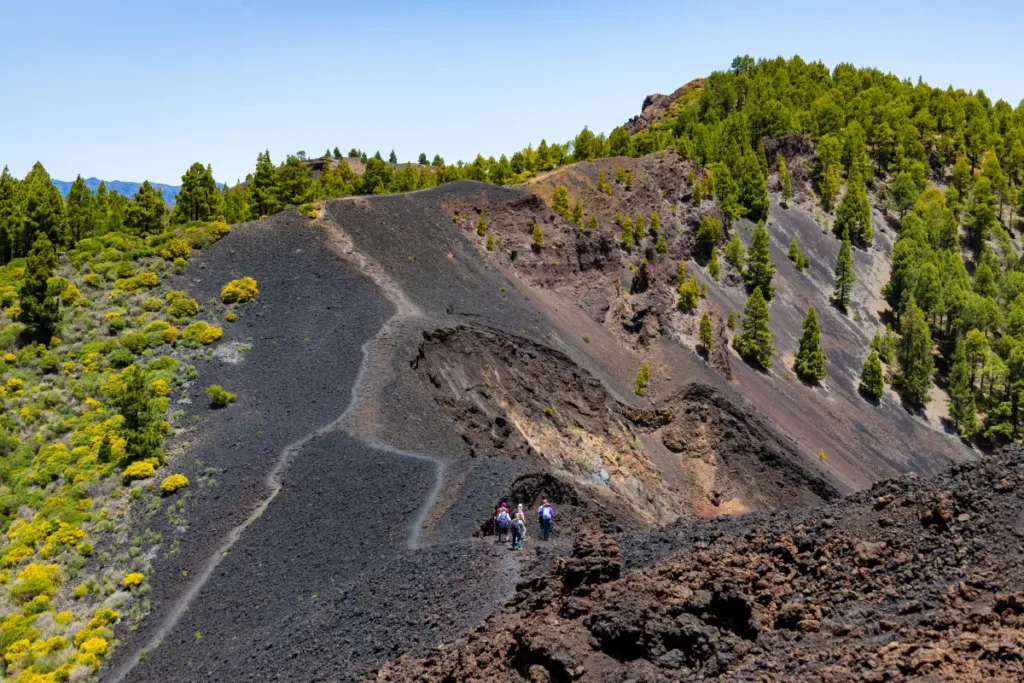
Choosing hiking routes in La Palma based only on the number of kilometres can be misleading. Within a relatively short distance, the island changes from the humid forests of the north-east to peaks above 2,000 metres, the ravines of the Caldera de Taburiente and the volcanic landscapes of the south.
That is why, before choosing a trail, it is also important to consider elevation gain, terrain, duration, altitude and logistics.
In this guide, we compare some of the most interesting hiking routes in La Palma to help you find the one that best matches your experience, the type of landscape you are looking for and the time you have available.
The best hiking routes in La Palma at a glance
| Route | Approximate difficulty | Time | Landscape | Recommended for |
|---|---|---|---|---|
| Caminos de Ensueño | Easy | Short route | Rural landscapes, dragon trees and ravines | Relaxed hiking |
| Cubo de la Galga | Easy | Around 2 h for the basic route | Laurel forest | Forest and an easier walk |
| Tajogaite | Easy-moderate / moderate | 3–3.5 h | Volcanic | Discovering the 2021 eruption |
| Norte Salvaje | Moderate | Around 3 h | Forest and northern La Palma | Nature |
| Roque de los Muchachos | Variable | Depends on the route | High mountain | Panoramic views |
| Caldera de Taburiente | Difficult for the full route | Full day | Ravines and pine forest | Experienced hikers |
| Ruta de los Volcanes | Difficult | 5.5 h or more | Volcanoes and highlands | Experienced hikers |
Gecko Tours’ guided Caminos de Ensueño route is 4.88 km long with 281 metres of elevation gain, while Norte Salvaje covers 8.5 km and takes around three hours.
If you want to choose quickly
| If you are looking for an easy route | Caminos de Ensueño or the shorter Cubo de la Galga option. |
| If you want to hike among volcanoes | Tajogaite or Ruta de los Volcanes. |
| If you prefer forest | Cubo de la Galga or a route in northern La Palma. |
| If you are looking for panoramic views | Roque de los Muchachos. |
| If you want a full-day hike | Caldera de Taburiente or Ruta de los Volcanes. |
How to choose a hiking route in La Palma
Don’t look only at the distance
A short route can be demanding if it involves a lot of elevation gain or crosses uneven terrain. The opposite can also be true: some longer routes may feel comfortable for someone who is used to hiking.
Always check:
- Distance
- Elevation gain and loss
- Type of terrain
- Estimated duration
- Altitude
- Sun exposure
- Start and finish logistics
Take altitude into account
Walking near the coast is very different from hiking above 2,000 metres. Roque de los Muchachos reaches 2,426 metres, the highest point on La Palma. Temperature, wind and visibility can be very different from the conditions at lower elevations on the same day.
Check whether the route is circular or linear
On linear routes, you will need to work out how to return to your starting point.
This is especially important on longer hikes such as Ruta de los Volcanes or certain routes in the Caldera de Taburiente.
Easy hiking routes in La Palma
Caminos de Ensueño
An interesting option for anyone who wants to enjoy a walk without taking on a full day in the mountains. Gecko Tours’ itinerary follows traditional paths through agricultural areas, dragon trees and the surroundings of the Buracas ravine. The route is 4.88 kilometres long, with 281 metres of elevation gain, and is classified as easy.
Ideal for: anyone looking for rural landscapes, nature and an accessible hike.
Cubo de la Galga
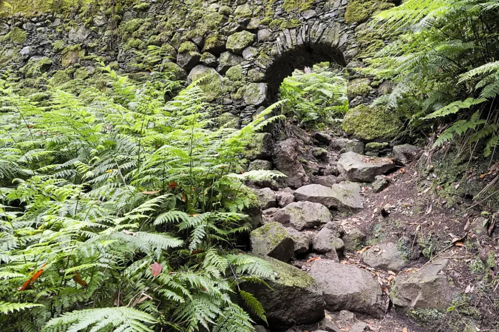
Cubo de la Galga takes you into one of the most representative laurel forest landscapes in north-eastern La Palma. The basic route is around 5 km long, takes approximately two hours and has a low difficulty level, although longer alternatives are available if you want to extend the hike.
Ideal for: forest, humidity, lush vegetation and a less demanding route.
Moderate hiking routes
Tajogaite Volcano
Here, the main attraction is not only the hike itself, but also a landscape that was created in 2021. Gecko Tours currently offers two options: a circular route of around 7 km and 3.5 hours, and a downhill route towards Las Manchas of approximately 6.5 km and three hours.
The volcanic ash underfoot makes walking here very different from hiking on a compact trail.
In addition, the designated trail providing access to the new volcano must be visited with an authorised guide.
Norte Salvaje
A completely different option. Here, the open volcanic landscape disappears and the forest takes centre stage. Gecko Tours’ route is 8.5 km long, takes around three hours and has approximately +/-318 metres of elevation change.
Ideal for: discovering the greener side of La Palma.
Routes for experienced hikers
Caldera de Taburiente
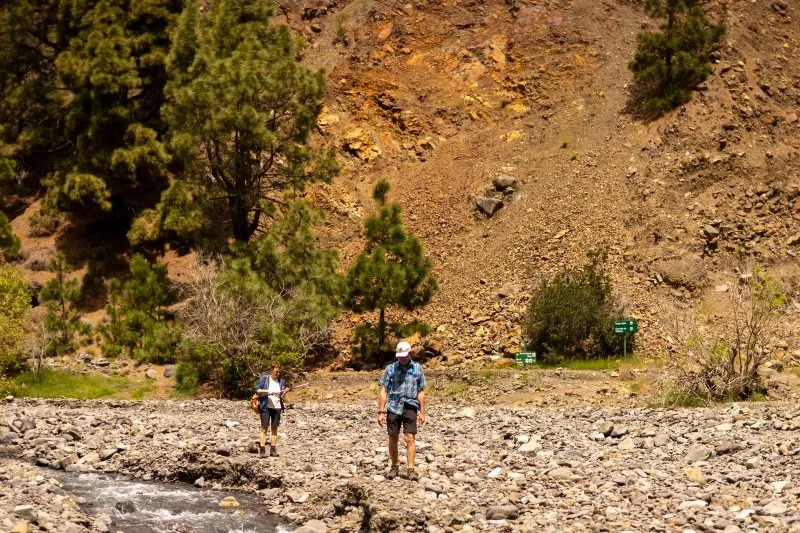
There is no single way to visit the Caldera de Taburiente. You can explore some of its viewpoints, enter from Barranco de las Angustias or follow the classic route from Los Brecitos into the interior of the National Park before exiting through the ravine.
One of the main routes takes around six hours, covers approximately 12.5 km and is classified as difficult.
Ruta de los Volcanes
This is one of La Palma’s major hiking routes. The main itinerary is approximately 17.5 km long, takes around 5 hours and 30 minutes, involves 1,207 metres of elevation change and is classified as difficult.
It starts at Refugio del Pilar and follows the volcanic ridge towards Fuencaliente, crossing some of the island’s most characteristic volcanic landscapes.
Which route to choose according to the landscape
Volcanoes
Tajogaite or Ruta de los Volcanes.
Laurel forest
Cubo de la Galga and northern La Palma.
High mountain
Roque de los Muchachos.
Ravines and pine forest
Caldera de Taburiente.
Rural landscape
Caminos de Ensueño.
What to check before setting off
Trail conditions can change due to landslides, maintenance work, wildfires, weather or other incidents.
Before starting your hike:
- Check the official trail status
- Check the weather forecast
- Bring enough water
- Wear suitable footwear
- Protect your head and skin from the sun
- Bring an additional layer when hiking at higher altitudes
- Plan your return transport if the route is linear
Hiking independently or with a guide?
Many hiking routes in La Palma can be done independently, as long as they are open and you have enough experience.
A guide can be especially useful if you want to understand and interpret the landscape, organise transport and logistics, adapt the route to your level or access areas subject to specific conditions, such as the designated Tajogaite trail.
| Still not sure which route is right for you? At Gecko Tours you can choose from a range of guided hikes through La Palma’s volcanic landscapes, forests, ravines and mountain peaks. |
|---|